Featured Sights
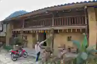

Image Missing
Chai Village of the LoLo
The rarest ethnic group in Vietnam, this beautiful LoLo village with period and traditional houses is a picturesque feast. We also get to talk with some of the LoLo residents.
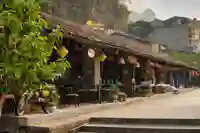

Image Missing
Dong Van Town
The town at the heart of the plateau, the proximity to China and other trading routes made this location of strategic importance. The modern day market gained prominence in the region with the construction of the peace road.
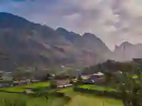

Image Missing
Du Già Village
River, waterfalls and homestay experience for the day in this charming village that is many peoples favourite.
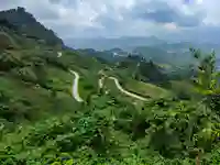

Image Missing
Heavens Gate
Heavens Gate gets its name from the fact that there are two different weather systems at the top and at the bottom. The view from the top is rather amazing at 1500m above sea level. Its a must see sight for any traveller in the region.
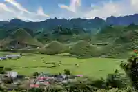

Image Missing
Fairy Breast Hills
A rich and fertile landscape, founded by a flute player & blessed by a goddess. The Twin Peaks of Vietnam
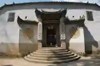

Image Missing
Hmong King Palace
This former home of the Hmong King is open to the public to see as are its grounds. The direct descendants today work in the restaurant opposite of their former ancestral home.


Image Missing
Khau Lan Waterfall
Newly discovered and not marked on the map - you need local knowledge to get there as no formal path exists.


Image Missing
Lao Xa Village
This village used to have an open border with China and people travelled freely between the two countries. The main language today is Hmong, the 2nd is Mandarin Chinese. It is also common for people to have family on both sides of the border.
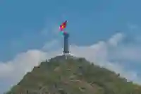

Image Missing
Lung Cu Flag Tower
This is the most northerly point in Vietnam. With clear views of mainland China, this attraction is popular with Vietnamese & foreigners alike.
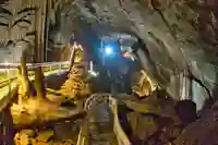

Image Missing
Lung Khuy Caves
Known about by locals for centuries, these caves were only recently opened to the public in 2015. To get there we must do a little trekking up a beautiful hillside.
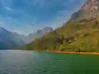

Image Missing
Nho Que River
This important river is 192 km long and flows between China and Vietnam. This emerald green river also flows though the Tu San Canyon some 1600m above sea level.
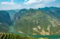

Image Missing
Mã Pí Lèng Pass
3 in 1. The pass at the top, the canyon in the middle and the river nho que at the bottom. The pass is also visible from the Skypath
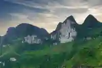

Image Missing
White Cliffs
This steep pass gets it's name from the Hmong language. Set in a green valley that is also used for farming, now part of the peace road (loop road).
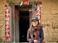

Image Missing
Pho Bang Village
This village in Vietnam was part of China until 1961. The remote village is unknown to tourists and still keeps its original charm
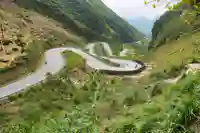

Image Missing
Tham Ma Pass
This steep pass gets it's name from the Hmong language. Set in a green valley that is also used for farming, now part of the peace road (loop road).
*Main / featured sights are listed only as there are too many otherwise. Thank you for your understanding.